
Description Stamping-Charging-Pushing machine (SCPМ) is designed for the following operations on the coke battery: selection of coal from a coal tower; preparation of coal pie; loading the cake into the coke oven; ejection of coke; work on the coke oven (removal and installation of doors, cleaning doors and door frames). The machine is designed for... READ MORE
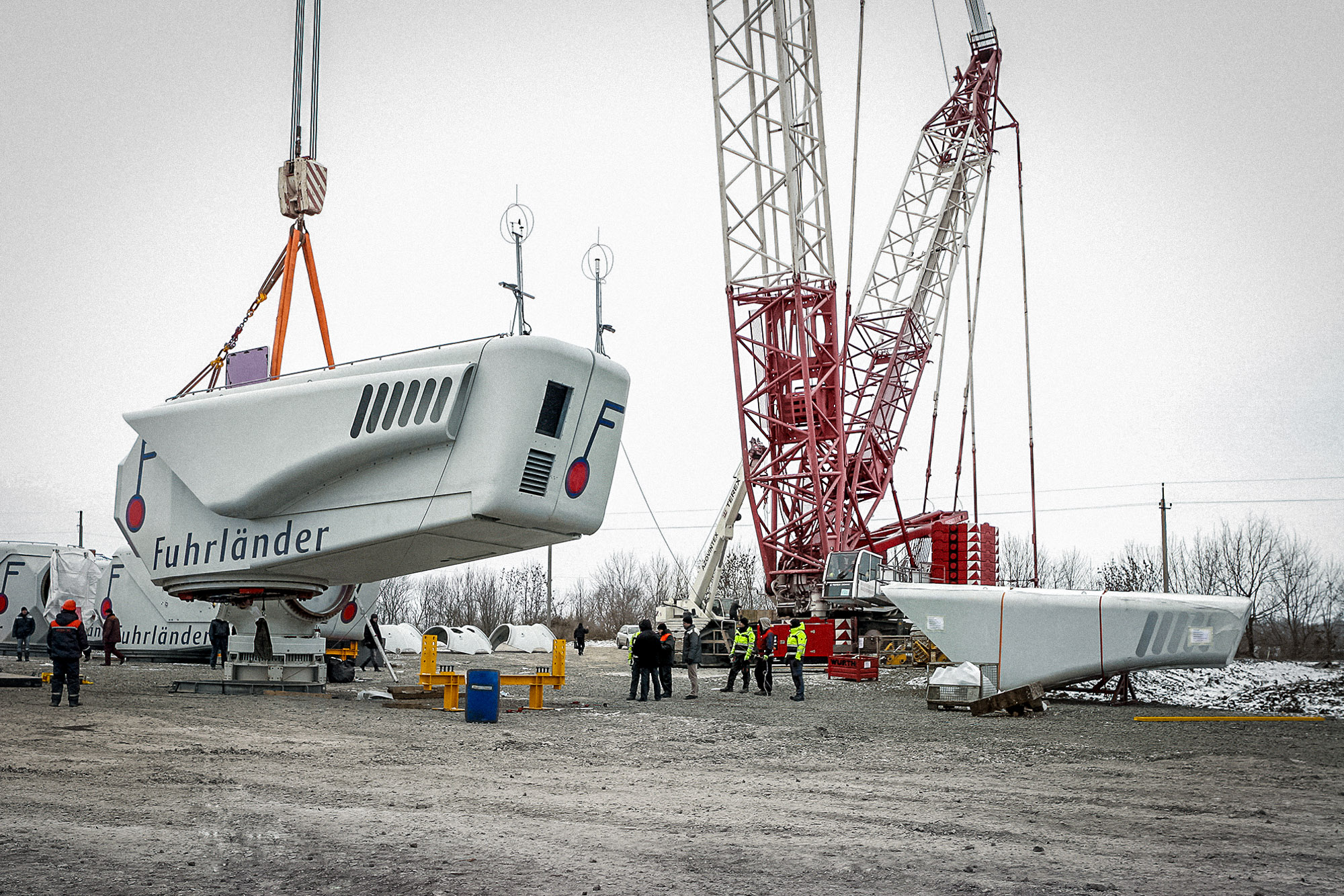
ОПИСАНИЕ ПРОЕКТА Geodetic and cartographic services Horizontal — vertical geodetic 8 points network was created for the purpose to provide further designing and mapping work.Land surveying of the area at about 64 hectares (1:1000 scale) and 94 hectares (1:500 scale) created basis for digital vector planning of area. On this basis Designing Institute designed places for mounting of... READ MORE
- 1
- 2


